Mapping and Cadastre Program
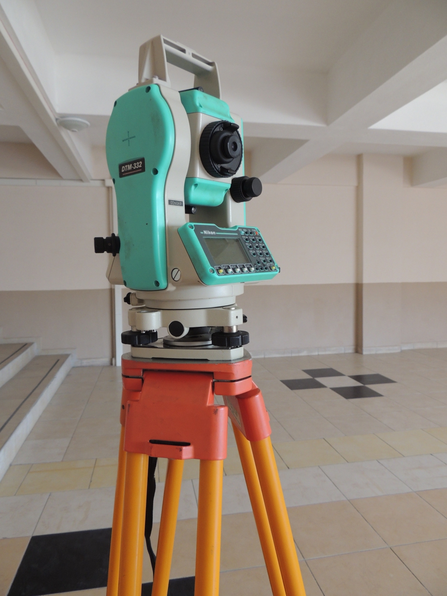
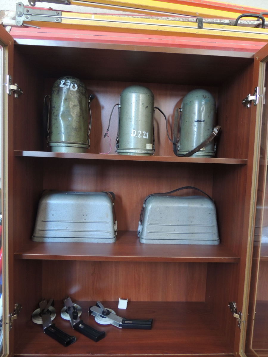
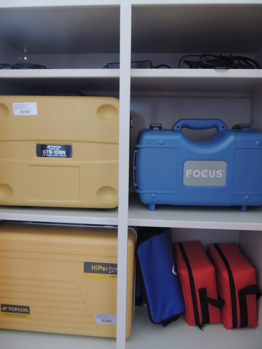
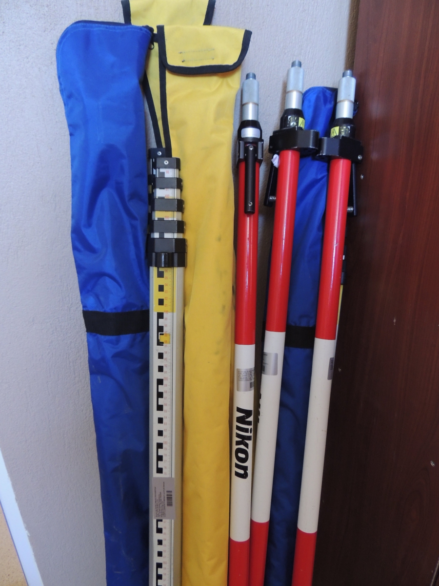
The aim of the Mapping and Cadastre Program is to train practicing personnel between the engineer and the worker who will personally work in the construction and implementation of the maps and plans that constitute the sub-structure of important projects such as zoning, cadastral, road, mining, irrigation, drying and dam.
GRADUATES’ TITLES AND THEIR WORKING AREAS
Graduates are awarded the title of "Map Cadastre Technician". These graduates are able to do jobs that can help plan and land applications that map cadastre engineer has created.
WORKING AREAS
Map cadastre technicians have employment and working opportunities in all public and private organizations. In the future in our country, there is a need for practitioners with knowledge and skill in the field of map cadastre. Graduates find employment opportunities in Turkey is above the average.
MAINLY WORKED INSTITUTIONS AND ORGANIZATIONS
Land Registry and Cadastre General Directorate, Iller Bank General Directorate, General Directorate of Highways, General Directorate of State Hydraulic Works
- Ministry of Environment and Urbanization, Ministry of Forestry and Water Affairs, Municipalities, Special Provincial Administrations, Universities
- TKI, MTA, TEIAS, TEDAS, Disaster Affairs General Directorate, Soil and Agricultural Reform General Directorate, GAP, DLH, DDY, DHM and so on. public institutions
- Map General Command, Private Sector Organizations (Map Companies, Construction Companies, Mining Companies, etc.)
CLICK FOR THE MAPPİNG AND CADASTRE PROGRAM COURSE PLANS.
CLICK FOR THE MAPPİNG AND CADASTRE PROGRAM COURSE CONTENTS.